Fields 🔗
cloud_cover
14.0
collection_category
T1
creation_time
2022-01-21 02:33:07
crs_raw
•
data_coverage
•
dataset_version
1.1.0
eo_gsd
30.0
eo_sun_azimuth
150.723
eo_sun_elevation
45.52
format
GeoTIFF
id
d3077f57-c1d9-5ff4-9482-bea0eb681882
instrument
ETM
label
•
lat
25.053 to 26.937
lon
14.248 to 16.47
platform
landsat-7
product_family
fc
region
•
region_code
186042
rmse
4.121
rmse_x
3.266
rmse_y
2.513
sat_orbit_state
•
sat_relative_orbit
•
time
1999-10-30 09:19:44 to 1999-10-30 09:19:44
Related Datasets 🔗
Location 🔗
s3://deafrica-services/fc_ls/1-1-0/186/042/1999/10/30/fc_ls_186042_1999-10-30.stac-item.json
| bs | fc_ls_186042_1999-10-30_bs.tif |
|---|---|
| checksum:sha1 | fc_ls_186042_1999-10-30.sha1 |
| metadata:processor | fc_ls_186042_1999-10-30.proc-info.yaml |
| npv | fc_ls_186042_1999-10-30_npv.tif |
| pv | fc_ls_186042_1999-10-30_pv.tif |
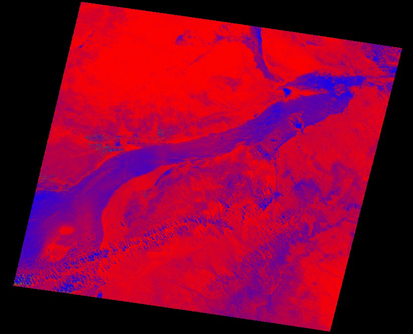
| thumbnail | fc_ls_186042_1999-10-30_thumbnail.jpg |
| ue | fc_ls_186042_1999-10-30_ue.tif |