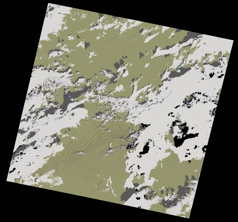
wofs_ls_199043_2020-12-29.stac-item
dataset of product wofs_ls
Indexed by odc_writer
,
created
Region
199043
for
29th December 2020
Fields 🔗
cloud_cover
32.43
collection_category
T1
creation_time
2021-08-31 23:29:14
crs_raw
•
data_coverage
•
dataset_version
1.0.0
eo_gsd
30.0
eo_sun_azimuth
152.512
eo_sun_elevation
37.043
format
GeoTIFF
id
d1ce580c-9488-5952-b631-e29731911910
instrument
OLI_TIRS
label
•
lat
23.502 to 25.596
lon
-6.151 to -3.941
platform
landsat-8
product_family
wofs
region
•
region_code
199043
rmse
6.785
rmse_x
4.812
rmse_y
4.783
sat_orbit_state
•
sat_relative_orbit
•
time
2020-12-29 10:47:53 to 2020-12-29 10:47:53
Related Datasets 🔗
wofs_ls_199043_2020-12-29.stac-item