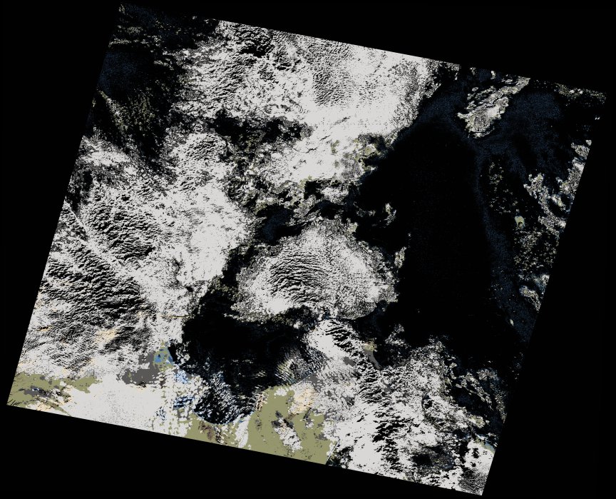
wofs_ls_191034_2021-12-16.stac-item
dataset of product wofs_ls
Indexed by odc_writer
,
created
Region
191034
for
16th December 2021
Fields 🔗
cloud_cover
39.09
collection_category
T1
creation_time
2023-05-04 18:09:17
crs_raw
•
data_coverage
•
dataset_version
1.0.0
eo_gsd
30.0
eo_sun_azimuth
160.032
eo_sun_elevation
26.501
format
GeoTIFF
id
d14e09fe-5a73-5265-8b63-67c016302e19
instrument
OLI_TIRS
label
•
lat
36.413 to 38.521
lon
9.491 to 12.06
platform
landsat-9
product_family
wofs
region
•
region_code
191034
rmse
8.357
rmse_x
5.439
rmse_y
6.344
sat_orbit_state
•
sat_relative_orbit
•
time
2021-12-16 09:54:50 to 2021-12-16 09:54:50
Related Datasets 🔗
wofs_ls_191034_2021-12-16.stac-item