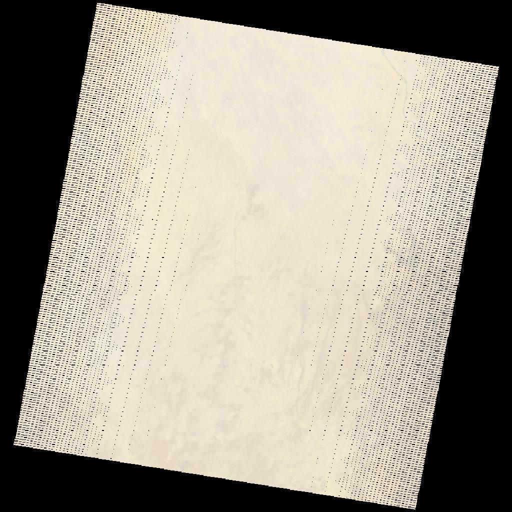
LE07_L2SP_172049_20031210_20200915_02_T1_SR_stac
dataset of product ls7_sr
Indexed by odc_writer
,
created
Region
172049
for
10th December 2003
Fields 🔗
cloud_cover
0.0
collection_category
T1
creation_time
2003-12-10 07:51:51
crs_raw
•
data_coverage
•
dataset_version
•
eo_gsd
•
eo_sun_azimuth
146.512
eo_sun_elevation
43.825
format
GeoTIFF
id
d0babd4e-7de9-544a-9de9-8ad66dd29467
instrument
ETM
label
•
lat
14.959 to 16.845
lon
33.589 to 35.66
platform
LANDSAT_7
product_family
•
region
•
region_code
172049
rmse
4.855
rmse_x
3.341
rmse_y
3.522
sat_orbit_state
•
sat_relative_orbit
•
time
2003-12-10 07:51:51 to 2003-12-10 07:51:51
Related Datasets 🔗
LE07_L2SP_172049_20031210_20200915_02_T1_SR_stac