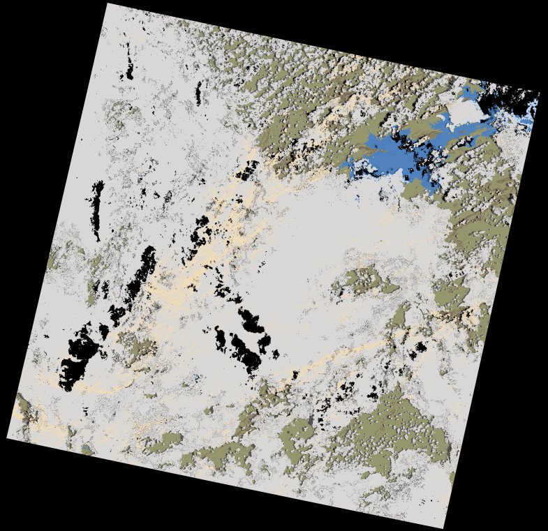
wofs_ls_172072_2023-01-31.stac-item
dataset of product wofs_ls
Indexed by odc_writer
,
created
Region
172072
for
31st January 2023
Fields 🔗
cloud_cover
75.61
collection_category
T1
creation_time
2023-02-02 06:04:05
crs_raw
•
data_coverage
•
dataset_version
1.0.0
eo_gsd
30.0
eo_sun_azimuth
95.151
eo_sun_elevation
58.808
format
GeoTIFF
id
d05b2148-5221-5781-85ff-fe6ba9a9eacb
instrument
OLI_TIRS
label
•
lat
-18.391 to -16.303
lon
26.362 to 28.478
platform
landsat-9
product_family
wofs
region
•
region_code
172072
rmse
8.492
rmse_x
5.823
rmse_y
6.18
sat_orbit_state
•
sat_relative_orbit
•
time
2023-01-31 08:12:45 to 2023-01-31 08:12:45
Related Datasets 🔗
wofs_ls_172072_2023-01-31.stac-item