wofs_ls_202050_2022-01-30.stac-item
dataset of product wofs_ls
Indexed by odc_writer
,
created
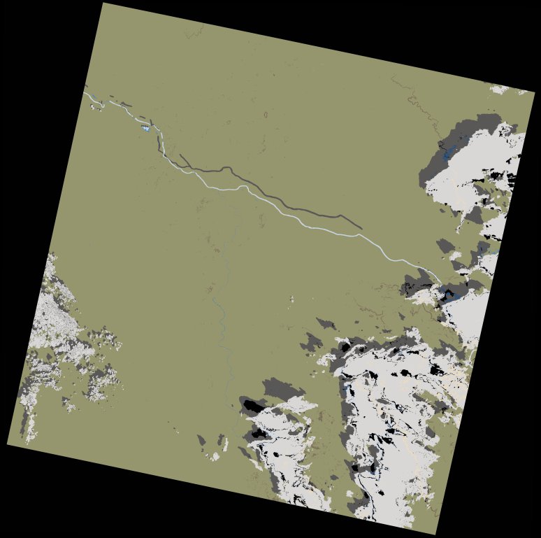
Region
202050
for
30th January 2022
Fields 🔗
cloud_cover
13.79
collection_category
T1
creation_time
2023-04-30 00:11:24
crs_raw
•
data_coverage
•
dataset_version
1.0.0
eo_gsd
30.0
eo_sun_azimuth
138.286
eo_sun_elevation
47.658
format
GeoTIFF
id
cef19c43-64d0-5b77-91e2-8d8f78e55a84
instrument
OLI_TIRS
label
•
lat
13.407 to 15.496
lon
-13.069 to -10.994
platform
landsat-9
product_family
wofs
region
•
region_code
202050
rmse
6.602
rmse_x
4.617
rmse_y
4.719
sat_orbit_state
•
sat_relative_orbit
•
time
2022-01-30 11:09:12 to 2022-01-30 11:09:12
Related Datasets 🔗
wofs_ls_202050_2022-01-30.stac-item