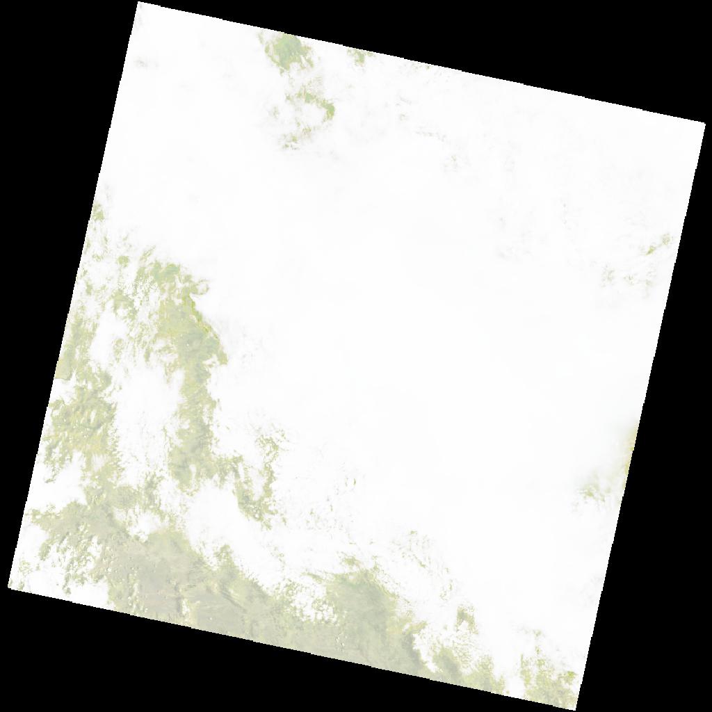
LC09_L2SP_176071_20211207_20220120_02_T1_SR_stac
dataset of product ls9_sr
Indexed by odc_writer
,
created
Region
176071
for
7th December 2021
Fields 🔗
cloud_cover
91.34
collection_category
T1
creation_time
2021-12-07 08:36:59
crs_raw
•
data_coverage
•
dataset_version
•
eo_gsd
•
eo_sun_azimuth
109.068
eo_sun_elevation
63.636
format
GeoTIFF
id
ce0b1918-e4f3-5ead-a242-168c5e74d9e1
instrument
OLI_TIRS
label
•
lat
-16.948 to -14.859
lon
20.52 to 22.616
platform
LANDSAT_9
product_family
•
region
•
region_code
176071
rmse
6.909
rmse_x
4.713
rmse_y
5.051
sat_orbit_state
•
sat_relative_orbit
•
time
2021-12-07 08:36:59 to 2021-12-07 08:36:59
Related Datasets 🔗
LC09_L2SP_176071_20211207_20220120_02_T1_SR_stac