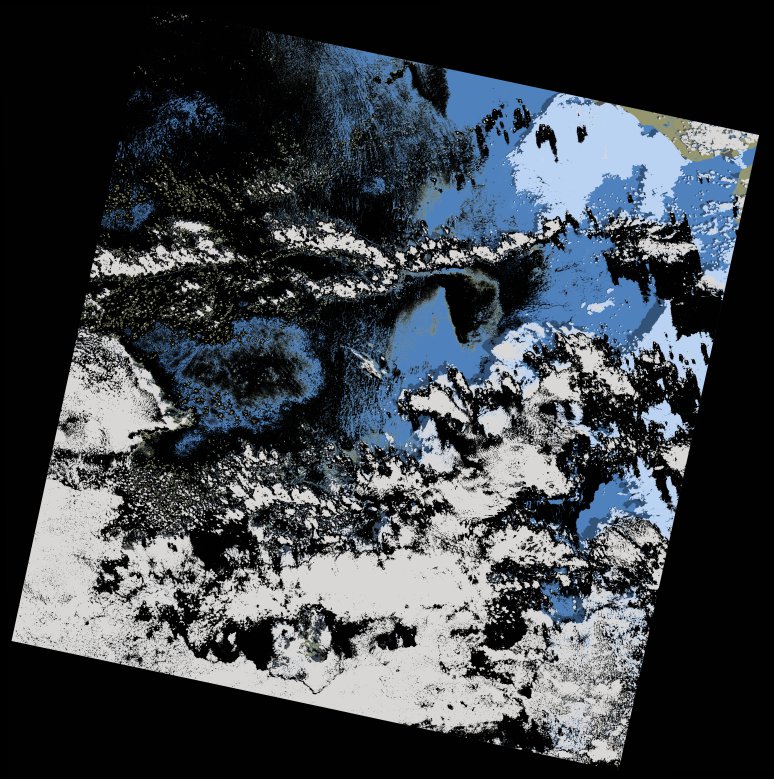
wofs_ls_205052_2013-10-01.stac-item
dataset of product wofs_ls
Indexed by odc_writer
,
created
Region
205052
for
1st October 2013
Fields 🔗
cloud_cover
46.41
collection_category
T1
creation_time
2021-09-01 00:09:22
crs_raw
•
data_coverage
•
dataset_version
1.0.0
eo_gsd
30.0
eo_sun_azimuth
122.816
eo_sun_elevation
63.397
format
GeoTIFF
id
cc3cf8e1-beec-5e9e-af64-e0c5727fe315
instrument
OLI_TIRS
label
•
lat
10.521 to 12.61
lon
-18.316 to -16.273
platform
landsat-8
product_family
wofs
region
•
region_code
205052
rmse
7.658
rmse_x
4.546
rmse_y
6.163
sat_orbit_state
•
sat_relative_orbit
•
time
2013-10-01 11:30:08 to 2013-10-01 11:30:08
Related Datasets 🔗
wofs_ls_205052_2013-10-01.stac-item