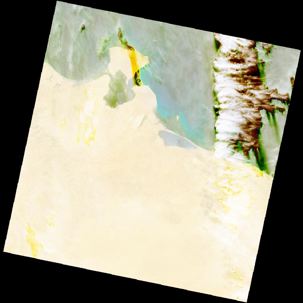
LC09_L2SP_190037_20211225_20230503_02_T1_SR_stac
dataset of product ls9_sr
Indexed by odc_writer
,
created
Region
190037
for
25th December 2021
Fields 🔗
cloud_cover
32.98
collection_category
T1
creation_time
2021-12-25 09:49:52
crs_raw
•
data_coverage
•
dataset_version
•
eo_gsd
•
eo_sun_azimuth
157.196
eo_sun_elevation
29.845
format
GeoTIFF
id
cc379341-9dcc-559c-ac33-058b8b16c7d4
instrument
OLI_TIRS
label
•
lat
32.119 to 34.221
lon
9.868 to 12.292
platform
LANDSAT_9
product_family
•
region
•
region_code
190037
rmse
3.74
rmse_x
2.805
rmse_y
2.474
sat_orbit_state
•
sat_relative_orbit
•
time
2021-12-25 09:49:52 to 2021-12-25 09:49:52
Related Datasets 🔗
LC09_L2SP_190037_20211225_20230503_02_T1_SR_stac