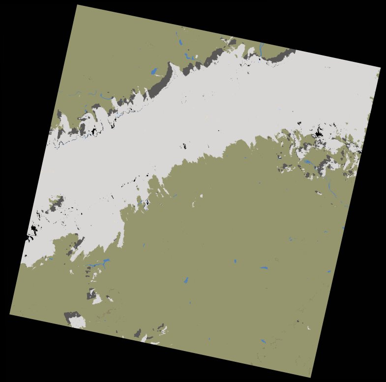
wofs_ls_194050_2022-10-05.stac-item
dataset of product wofs_ls
Indexed by odc_writer
,
created
Region
194050
for
5th October 2022
Fields 🔗
cloud_cover
26.52
collection_category
T1
creation_time
2022-10-07 10:01:34
crs_raw
•
data_coverage
•
dataset_version
1.0.0
eo_gsd
30.0
eo_sun_azimuth
130.126
eo_sun_elevation
61.033
format
GeoTIFF
id
ca73c6de-cf03-506f-a757-78d5bcc6f514
instrument
OLI_TIRS
label
•
lat
13.407 to 15.496
lon
-0.695 to 1.379
platform
landsat-9
product_family
wofs
region
•
region_code
194050
rmse
6.059
rmse_x
4.237
rmse_y
4.332
sat_orbit_state
•
sat_relative_orbit
•
time
2022-10-05 10:19:50 to 2022-10-05 10:19:50
Related Datasets 🔗
wofs_ls_194050_2022-10-05.stac-item
... 5 more