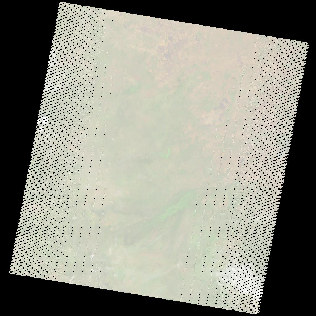
LE07_L2SP_172053_20081020_20200913_02_T1_SR_stac
dataset of product ls7_sr
Indexed by odc_writer
,
created
Region
172053
for
20th October 2008
Fields 🔗
cloud_cover
2.0
collection_category
T1
creation_time
2008-10-20 07:53:28
crs_raw
•
data_coverage
•
dataset_version
•
eo_gsd
•
eo_sun_azimuth
129.531
eo_sun_elevation
57.987
format
GeoTIFF
id
c7aa5f10-1477-502c-b9a4-af77f50d9ff0
instrument
ETM
label
•
lat
9.196 to 11.056
lon
32.332 to 34.401
platform
LANDSAT_7
product_family
•
region
•
region_code
172053
rmse
4.889
rmse_x
3.522
rmse_y
3.391
sat_orbit_state
•
sat_relative_orbit
•
time
2008-10-20 07:53:28 to 2008-10-20 07:53:28
Related Datasets 🔗
LE07_L2SP_172053_20081020_20200913_02_T1_SR_stac