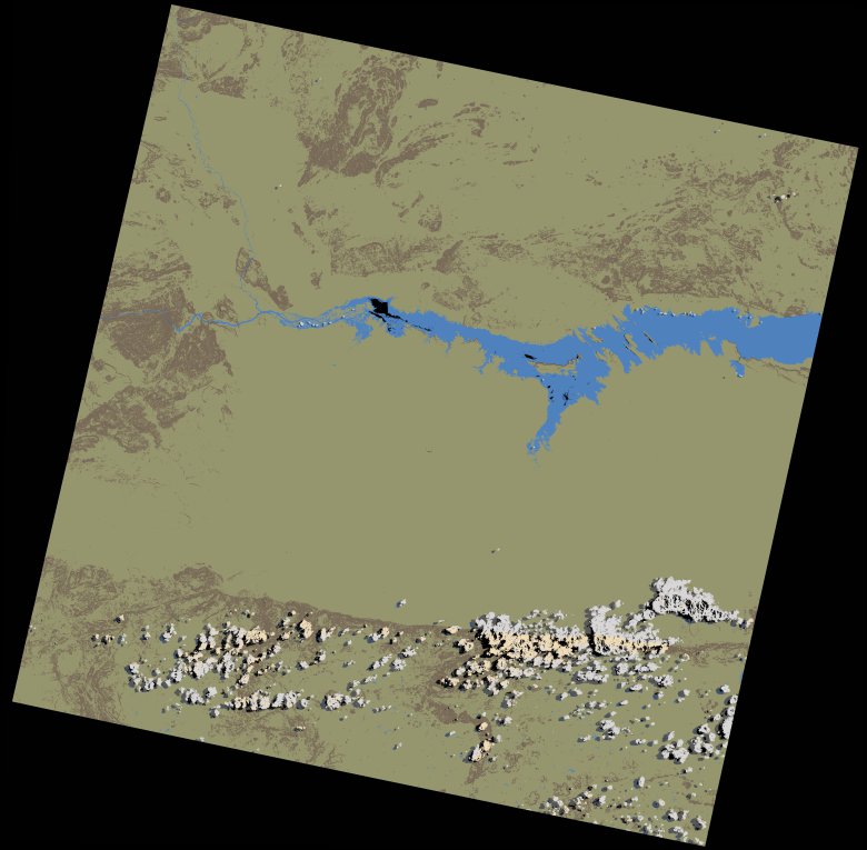
wofs_ls_170071_2022-09-27.stac-item
dataset of product wofs_ls
Indexed by odc_writer
,
created
Region
170071
for
27th September 2022
Fields 🔗
cloud_cover
2.48
collection_category
T1
creation_time
2023-03-27 22:02:21
crs_raw
•
data_coverage
•
dataset_version
1.0.0
eo_gsd
30.0
eo_sun_azimuth
64.487
eo_sun_elevation
59.882
format
GeoTIFF
id
c6b743e7-0b85-555c-99c0-5abffd357b07
instrument
OLI_TIRS
label
•
lat
-16.947 to -14.859
lon
29.801 to 31.899
platform
landsat-9
product_family
wofs
region
•
region_code
170071
rmse
6.849
rmse_x
4.366
rmse_y
5.277
sat_orbit_state
•
sat_relative_orbit
•
time
2022-09-27 07:59:53 to 2022-09-27 07:59:53
Related Datasets 🔗
wofs_ls_170071_2022-09-27.stac-item