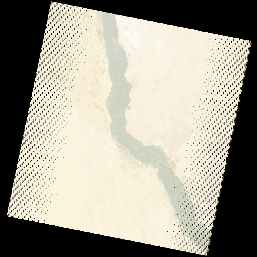
LE07_L2SP_176041_20221215_20230111_02_T1_SR_stac
dataset of product ls7_sr
Indexed by odc_writer
,
created
Region
176041
for
15th December 2022
Fields 🔗
cloud_cover
1.0
collection_category
T1
creation_time
2022-12-15 06:38:35
crs_raw
•
data_coverage
•
dataset_version
•
eo_gsd
•
eo_sun_azimuth
132.731
eo_sun_elevation
21.179
format
GeoTIFF
id
c50ab0d4-e317-5764-9f10-3b50c87a9338
instrument
ETM
label
•
lat
26.514 to 28.391
lon
29.743 to 32.07
platform
LANDSAT_7
product_family
•
region
•
region_code
176041
rmse
4.547
rmse_x
3.033
rmse_y
3.387
sat_orbit_state
•
sat_relative_orbit
•
time
2022-12-15 06:38:35 to 2022-12-15 06:38:35
Related Datasets 🔗
LE07_L2SP_176041_20221215_20230111_02_T1_SR_stac