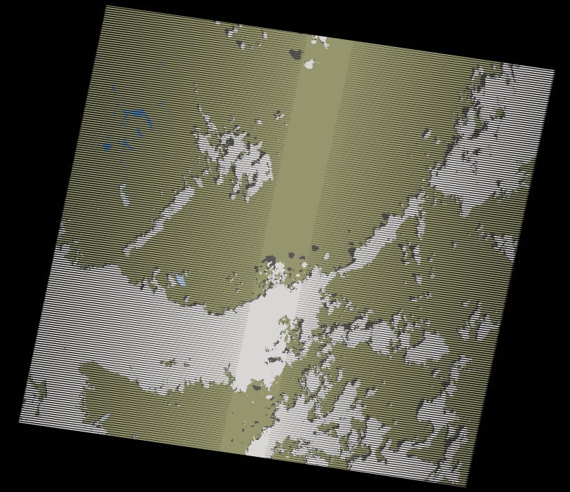
wofs_ls_173055_2020-01-30.stac-item
dataset of product wofs_ls
Indexed by odc_writer
,
created
Region
173055
for
30th January 2020
Fields 🔗
cloud_cover
25.0
collection_category
T1
creation_time
2021-09-01 02:29:14
crs_raw
•
data_coverage
•
dataset_version
1.0.0
eo_gsd
30.0
eo_sun_azimuth
126.811
eo_sun_elevation
47.891
format
GeoTIFF
id
c0a91413-de67-5977-8618-f5c3409435c1
instrument
ETM
label
•
lat
6.304 to 8.17
lon
30.161 to 32.246
platform
landsat-7
product_family
wofs
region
•
region_code
173055
rmse
6.028
rmse_x
5.072
rmse_y
3.257
sat_orbit_state
•
sat_relative_orbit
•
time
2020-01-30 07:51:07 to 2020-01-30 07:51:07
Related Datasets 🔗
wofs_ls_173055_2020-01-30.stac-item