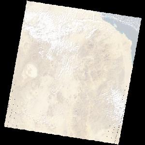
LE07_L2SP_172045_20051231_20200914_02_T1_SR_stac
dataset of product ls7_sr
Indexed by odc_writer
,
created
Region
172045
for
31st December 2005
Fields 🔗
cloud_cover
13.0
collection_category
T1
creation_time
2005-12-31 07:51:17
crs_raw
•
data_coverage
•
dataset_version
•
eo_gsd
•
eo_sun_azimuth
147.923
eo_sun_elevation
38.077
format
GeoTIFF
id
beda293e-ed3b-51a3-994e-17fadacbc0f2
instrument
ETM
label
•
lat
20.723 to 22.621
lon
34.9 to 37.051
platform
LANDSAT_7
product_family
•
region
•
region_code
172045
rmse
4.369
rmse_x
3.214
rmse_y
2.96
sat_orbit_state
•
sat_relative_orbit
•
time
2005-12-31 07:51:17 to 2005-12-31 07:51:17
Related Datasets 🔗
LE07_L2SP_172045_20051231_20200914_02_T1_SR_stac