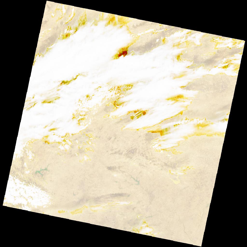
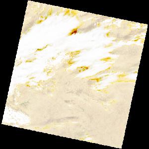
LC09_L2SP_195051_20211228_20230503_02_T1_SR_stac
dataset of product ls9_sr
Indexed by odc_writer
,
created
Region
195051
for
28th December 2021
Fields 🔗
cloud_cover
47.4
collection_category
T1
creation_time
2021-12-28 10:26:21
crs_raw
•
data_coverage
•
dataset_version
•
eo_gsd
•
eo_sun_azimuth
145.483
eo_sun_elevation
46.063
format
GeoTIFF
id
be896c32-f4e0-5808-aa50-c879b537cb2a
instrument
OLI_TIRS
label
•
lat
11.963 to 14.052
lon
-2.556 to -0.497
platform
LANDSAT_9
product_family
•
region
•
region_code
195051
rmse
6.696
rmse_x
4.936
rmse_y
4.525
sat_orbit_state
•
sat_relative_orbit
•
time
2021-12-28 10:26:21 to 2021-12-28 10:26:21
Related Datasets 🔗
LC09_L2SP_195051_20211228_20230503_02_T1_SR_stac