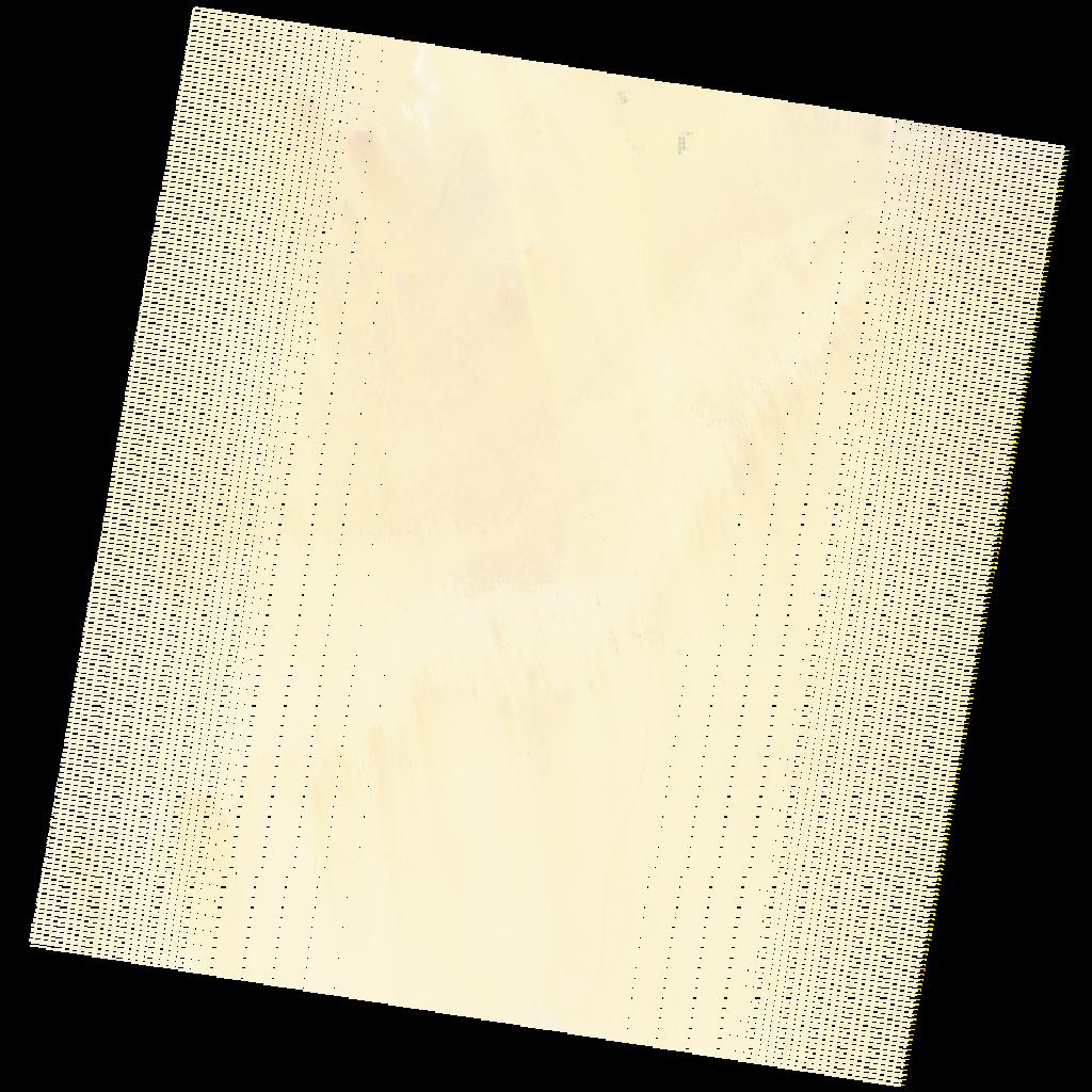
LE07_L2SP_177043_20220115_20220210_02_T1_SR_stac
dataset of product ls7_sr
Indexed by odc_writer
,
created
Region
177043
for
15th January 2022
Fields 🔗
cloud_cover
0.0
collection_category
T1
creation_time
2022-01-15 07:17:38
crs_raw
•
data_coverage
•
dataset_version
•
eo_gsd
•
eo_sun_azimuth
133.052
eo_sun_elevation
27.385
format
GeoTIFF
id
be34b008-7f86-5630-a4ce-632d8b516396
instrument
ETM
label
•
lat
23.63 to 25.503
lon
27.726 to 30.012
platform
LANDSAT_7
product_family
•
region
•
region_code
177043
rmse
4.475
rmse_x
3.007
rmse_y
3.314
sat_orbit_state
•
sat_relative_orbit
•
time
2022-01-15 07:17:38 to 2022-01-15 07:17:38
Related Datasets 🔗
LE07_L2SP_177043_20220115_20220210_02_T1_SR_stac