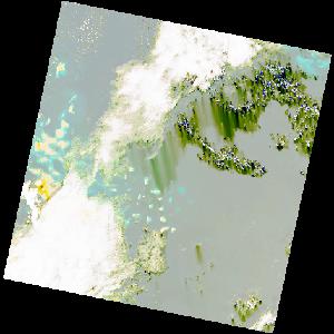
LC09_L2SP_168049_20211231_20220123_02_T2_SR_stac
dataset of product ls9_sr
Indexed by odc_writer
,
created
Region
168049
for
31st December 2021
Fields 🔗
cloud_cover
33.14
collection_category
T2
creation_time
2021-12-31 07:38:41
crs_raw
•
data_coverage
•
dataset_version
•
eo_gsd
•
eo_sun_azimuth
147.032
eo_sun_elevation
43.861
format
GeoTIFF
id
bbfd3870-8eba-51c7-9706-6530ab01e271
instrument
OLI_TIRS
label
•
lat
14.851 to 16.94
lon
39.79 to 41.878
platform
LANDSAT_9
product_family
•
region
•
region_code
168049
rmse
13.134
rmse_x
8.958
rmse_y
9.606
sat_orbit_state
•
sat_relative_orbit
•
time
2021-12-31 07:38:41 to 2021-12-31 07:38:41
Related Datasets 🔗
LC09_L2SP_168049_20211231_20220123_02_T2_SR_stac