LE07_L2SP_172065_20001201_20200917_02_T2_SR_stac
dataset of product ls7_sr
Indexed by odc_writer
,
created
Region
172065
for
1st December 2000
Fields 🔗
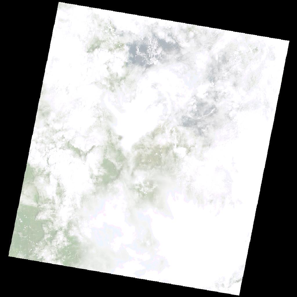
cloud_cover
89.0
collection_category
T2
creation_time
2000-12-01 07:59:51
crs_raw
•
data_coverage
•
dataset_version
•
eo_gsd
•
eo_sun_azimuth
121.689
eo_sun_elevation
59.574
format
GeoTIFF
id
bb7d7b12-998d-5318-bf29-220dedc2e871
instrument
ETM
label
•
lat
-8.156 to -6.287
lon
28.657 to 30.666
platform
LANDSAT_7
product_family
•
region
•
region_code
172065
rmse
15.13
rmse_x
4.387
rmse_y
14.48
sat_orbit_state
•
sat_relative_orbit
•
time
2000-12-01 07:59:51 to 2000-12-01 07:59:51
Related Datasets 🔗
LE07_L2SP_172065_20001201_20200917_02_T2_SR_stac