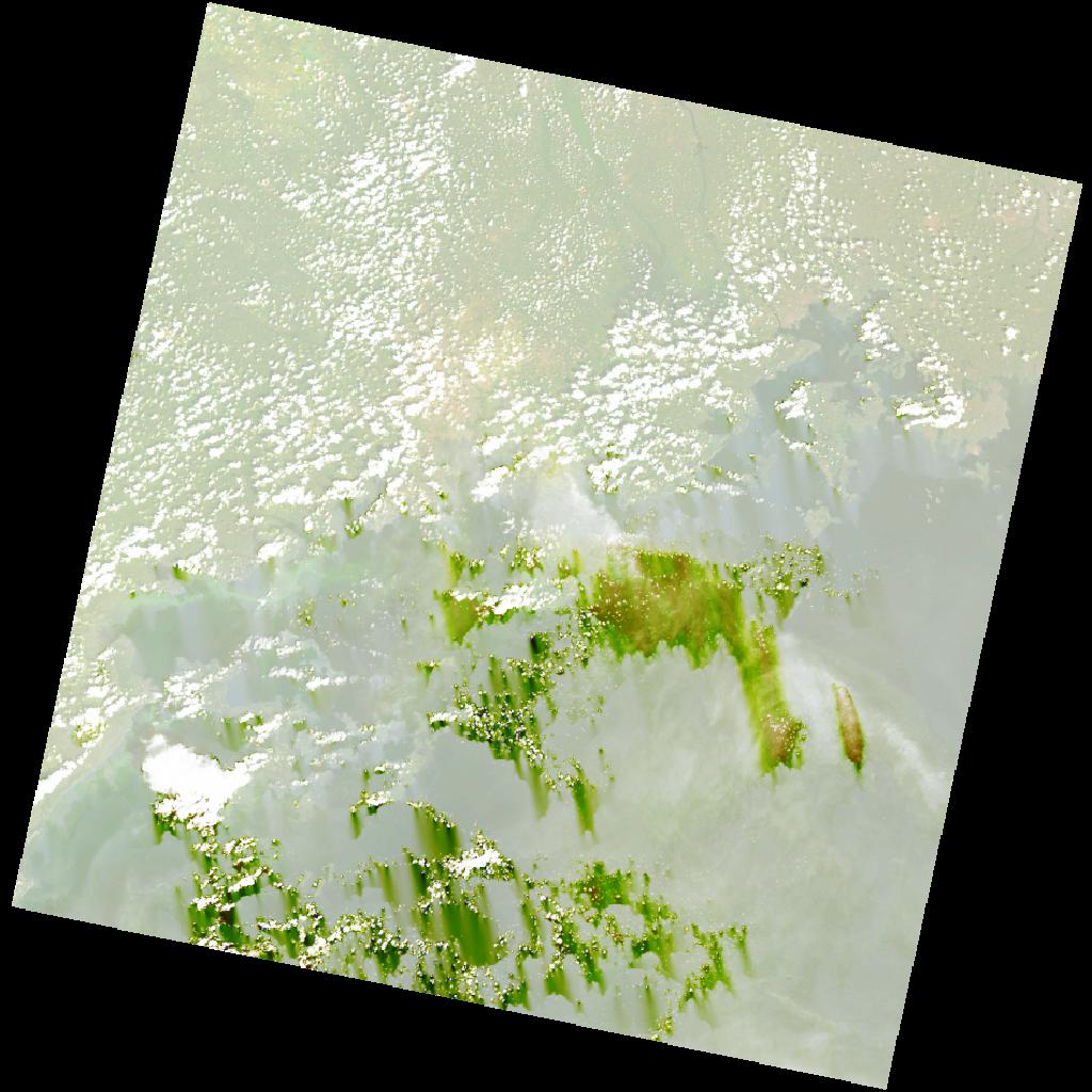
LC09_L2SP_171060_20211220_20220121_02_T1_SR_stac
dataset of product ls9_sr
Indexed by odc_writer
,
created
Region
171060
for
20th December 2021
Fields 🔗
cloud_cover
33.62
collection_category
T1
creation_time
2021-12-20 08:01:36
crs_raw
•
data_coverage
•
dataset_version
•
eo_gsd
•
eo_sun_azimuth
134.434
eo_sun_elevation
55.389
format
GeoTIFF
id
bb08e71e-a8e1-59c5-9f9e-40185bc31296
instrument
OLI_TIRS
label
•
lat
-1.047 to 1.04
lon
31.758 to 33.762
platform
LANDSAT_9
product_family
•
region
•
region_code
171060
rmse
8.16
rmse_x
5.987
rmse_y
5.545
sat_orbit_state
•
sat_relative_orbit
•
time
2021-12-20 08:01:36 to 2021-12-20 08:01:36
Related Datasets 🔗
LC09_L2SP_171060_20211220_20220121_02_T1_SR_stac