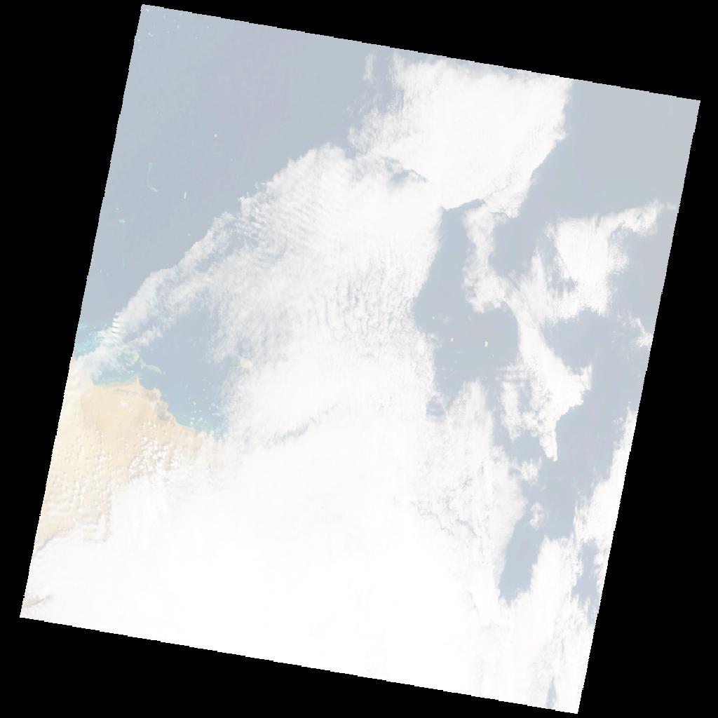
LE07_L2SP_170047_20010221_20200917_02_T2_SR_stac
dataset of product ls7_sr
Indexed by odc_writer
,
created
Region
170047
for
21st February 2001
Fields 🔗
cloud_cover
62.0
collection_category
T2
creation_time
2001-02-21 07:40:21
crs_raw
•
data_coverage
•
dataset_version
•
eo_gsd
•
eo_sun_azimuth
132.291
eo_sun_elevation
48.402
format
GeoTIFF
id
ba5ebab4-b9d4-56a1-a53d-37ee9efb32af
instrument
ETM
label
•
lat
17.852 to 19.73
lon
37.317 to 39.422
platform
LANDSAT_7
product_family
•
region
•
region_code
170047
rmse
16.208
rmse_x
12.9
rmse_y
9.812
sat_orbit_state
•
sat_relative_orbit
•
time
2001-02-21 07:40:21 to 2001-02-21 07:40:21
Related Datasets 🔗
LE07_L2SP_170047_20010221_20200917_02_T2_SR_stac