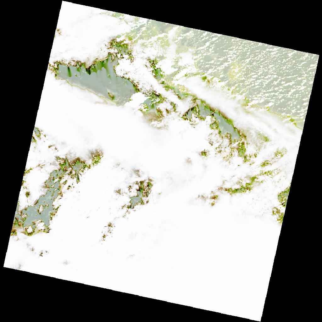
LC09_L2SP_200056_20211231_20220122_02_T1_SR_stac
dataset of product ls9_sr
Indexed by odc_writer
,
created
Region
200056
for
31st December 2021
Fields 🔗
cloud_cover
86.83
collection_category
T1
creation_time
2021-12-31 10:59:14
crs_raw
•
data_coverage
•
dataset_version
•
eo_gsd
•
eo_sun_azimuth
138.751
eo_sun_elevation
51.058
format
GeoTIFF
id
b811c47e-0620-5653-a5db-273118041709
instrument
OLI_TIRS
label
•
lat
4.736 to 6.824
lon
-11.825 to -9.809
platform
LANDSAT_9
product_family
•
region
•
region_code
200056
rmse
7.487
rmse_x
5.997
rmse_y
4.481
sat_orbit_state
•
sat_relative_orbit
•
time
2021-12-31 10:59:14 to 2021-12-31 10:59:14
Related Datasets 🔗
LC09_L2SP_200056_20211231_20220122_02_T1_SR_stac