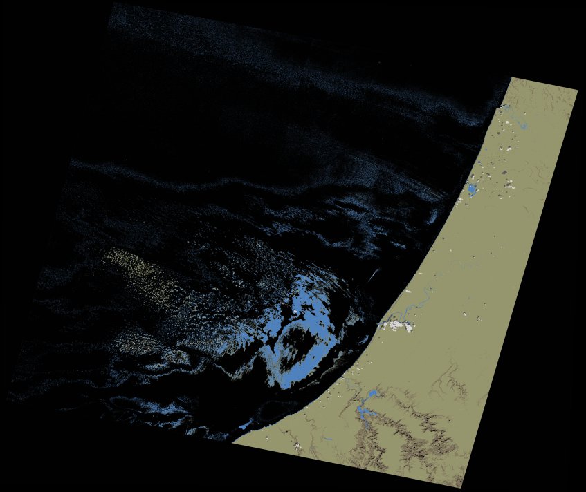
wofs_ls_202036_2022-01-14.stac-item
dataset of product wofs_ls
Indexed by odc_writer
,
created
Region
202036
for
14th January 2022
Fields 🔗
cloud_cover
0.09
collection_category
T1
creation_time
2023-05-01 22:11:00
crs_raw
•
data_coverage
•
dataset_version
1.0.0
eo_gsd
30.0
eo_sun_azimuth
154.716
eo_sun_elevation
29.854
format
GeoTIFF
id
b4564b12-0cf8-5f65-aeac-f832d3a16a33
instrument
OLI_TIRS
label
•
lat
33.552 to 35.655
lon
-8.286 to -5.816
platform
landsat-9
product_family
wofs
region
•
region_code
202036
rmse
6.802
rmse_x
4.516
rmse_y
5.086
sat_orbit_state
•
sat_relative_orbit
•
time
2022-01-14 11:03:35 to 2022-01-14 11:03:35
Related Datasets 🔗
wofs_ls_202036_2022-01-14.stac-item