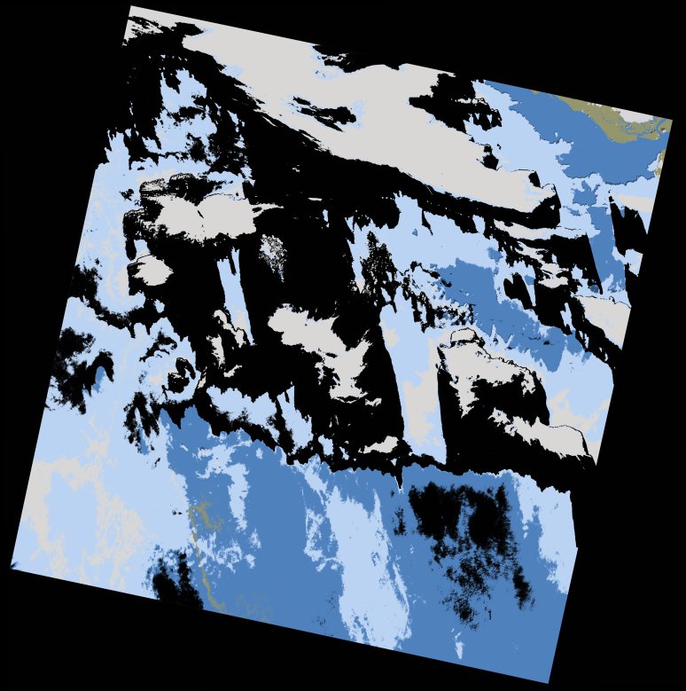
wofs_ls_205052_2013-12-20.stac-item
dataset of product wofs_ls
Indexed by odc_writer
,
created
Region
205052
for
20th December 2013
Fields 🔗
cloud_cover
61.63
collection_category
T1
creation_time
2021-09-01 00:11:21
crs_raw
•
data_coverage
•
dataset_version
1.0.0
eo_gsd
30.0
eo_sun_azimuth
145.9
eo_sun_elevation
47.702
format
GeoTIFF
id
b374efa4-5faa-530d-981e-4e254add0e1a
instrument
OLI_TIRS
label
•
lat
10.521 to 12.61
lon
-18.331 to -16.287
platform
landsat-8
product_family
wofs
region
•
region_code
205052
rmse
4.781
rmse_x
3.537
rmse_y
3.216
sat_orbit_state
•
sat_relative_orbit
•
time
2013-12-20 11:29:43 to 2013-12-20 11:29:43
Related Datasets 🔗
wofs_ls_205052_2013-12-20.stac-item