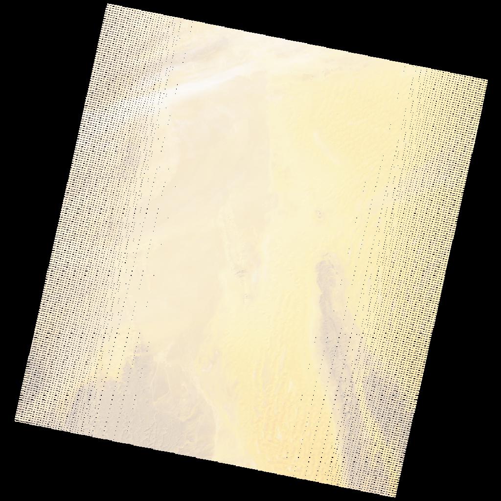
LE07_L2SP_192041_20051227_20200914_02_T1_SR_stac
dataset of product ls7_sr
Indexed by odc_writer
,
created
Region
192041
for
27th December 2005
Fields 🔗
cloud_cover
1.0
collection_category
T1
creation_time
2005-12-27 09:53:14
crs_raw
•
data_coverage
•
dataset_version
•
eo_gsd
•
eo_sun_azimuth
151.614
eo_sun_elevation
33.569
format
GeoTIFF
id
b3113d0e-49fb-5063-8291-1ecc899bd3c1
instrument
ETM
label
•
lat
26.483 to 28.383
lon
5.356 to 7.612
platform
LANDSAT_7
product_family
•
region
•
region_code
192041
rmse
4.638
rmse_x
3.119
rmse_y
3.433
sat_orbit_state
•
sat_relative_orbit
•
time
2005-12-27 09:53:14 to 2005-12-27 09:53:14
Related Datasets 🔗
LE07_L2SP_192041_20051227_20200914_02_T1_SR_stac