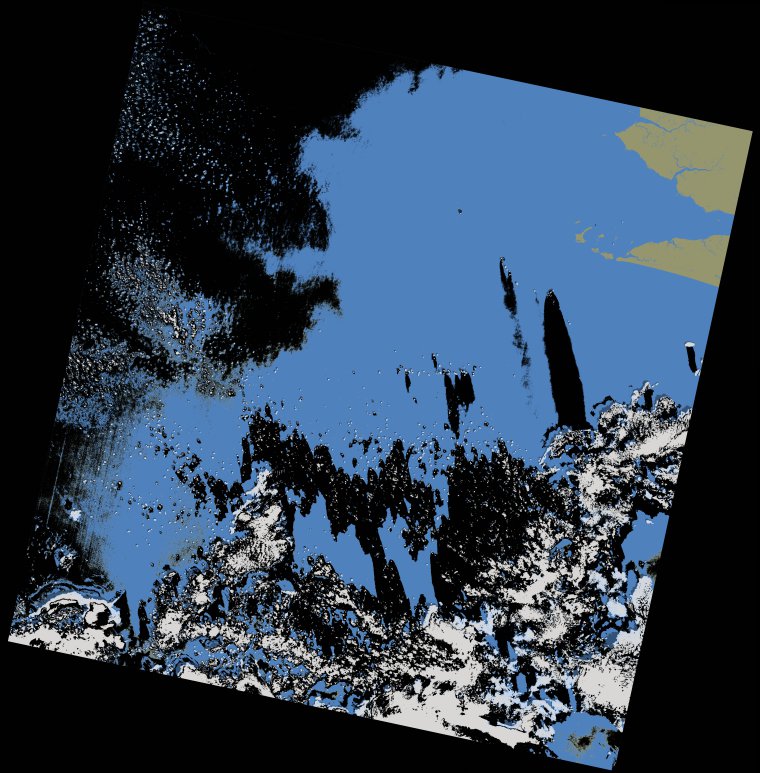
wofs_ls_202055_2021-12-29.stac-item
dataset of product wofs_ls
Indexed by odc_writer
,
created
Region
202055
for
29th December 2021
Fields 🔗
cloud_cover
14.28
collection_category
T1
creation_time
2022-02-14 23:39:05
crs_raw
•
data_coverage
•
dataset_version
1.0.0
eo_gsd
30.0
eo_sun_azimuth
140.508
eo_sun_elevation
50.148
format
GeoTIFF
id
b21e2aa1-9b5e-5225-99ef-c2f843150c41
instrument
OLI_TIRS
label
•
lat
6.183 to 8.271
lon
-14.609 to -12.587
platform
landsat-9
product_family
wofs
region
•
region_code
202055
rmse
4.498
rmse_x
3.35
rmse_y
3.001
sat_orbit_state
•
sat_relative_orbit
•
time
2021-12-29 11:11:12 to 2021-12-29 11:11:12
Related Datasets 🔗
wofs_ls_202055_2021-12-29.stac-item