LC09_L2SP_170083_20231219_20231220_02_T1_SR_stac
dataset of product ls9_sr
Indexed by odc_writer
,
created
Region
170083
for
19th December 2023
Fields 🔗
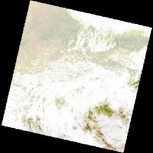
cloud_cover
75.04
collection_category
T1
creation_time
2023-12-19 08:04:39
crs_raw
•
data_coverage
•
dataset_version
•
eo_gsd
•
eo_sun_azimuth
78.67
eo_sun_elevation
60.771
format
GeoTIFF
id
b0b39773-2f4d-5cda-a316-0210a103a185
instrument
OLI_TIRS
label
•
lat
-34.228 to -32.129
lon
25.372 to 27.82
platform
LANDSAT_9
product_family
•
region
•
region_code
170083
rmse
7.594
rmse_x
5.317
rmse_y
5.422
sat_orbit_state
•
sat_relative_orbit
•
time
2023-12-19 08:04:39 to 2023-12-19 08:04:39