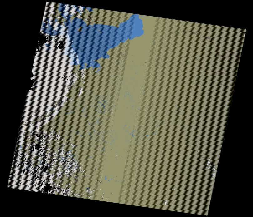
wofs_ls_170062_2020-12-10.stac-item
dataset of product wofs_ls
Indexed by odc_writer
,
created
Region
170062
for
10th December 2020
Fields 🔗
cloud_cover
12.0
collection_category
T1
creation_time
2021-09-01 04:53:15
crs_raw
•
data_coverage
•
dataset_version
1.0.0
eo_gsd
30.0
eo_sun_azimuth
123.312
eo_sun_elevation
50.187
format
GeoTIFF
id
afa4a8b1-ba68-540c-9c08-5023fdba4133
instrument
ETM
label
•
lat
-3.818 to -1.961
lon
32.662 to 34.737
platform
landsat-7
product_family
wofs
region
•
region_code
170062
rmse
4.685
rmse_x
3.35
rmse_y
3.275
sat_orbit_state
•
sat_relative_orbit
•
time
2020-12-10 07:16:00 to 2020-12-10 07:16:00
Related Datasets 🔗
wofs_ls_170062_2020-12-10.stac-item