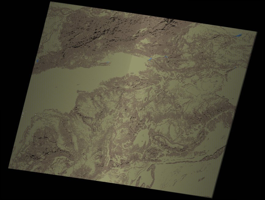
wofs_ls_202039_2017-10-31.stac-item
dataset of product wofs_ls
Indexed by odc_writer
,
created
Region
202039
for
31st October 2017
Fields 🔗
cloud_cover
0.0
collection_category
T1
creation_time
2021-09-01 02:59:57
crs_raw
•
data_coverage
•
dataset_version
1.0.0
eo_gsd
30.0
eo_sun_azimuth
156.87
eo_sun_elevation
42.396
format
GeoTIFF
id
aca7971d-8aa9-5891-a2eb-bdccaee91a01
instrument
ETM
label
•
lat
29.362 to 31.259
lon
-9.493 to -7.087
platform
landsat-7
product_family
wofs
region
•
region_code
202039
rmse
4.032
rmse_x
2.389
rmse_y
3.248
sat_orbit_state
•
sat_relative_orbit
•
time
2017-10-31 11:07:10 to 2017-10-31 11:07:10
Related Datasets 🔗
wofs_ls_202039_2017-10-31.stac-item