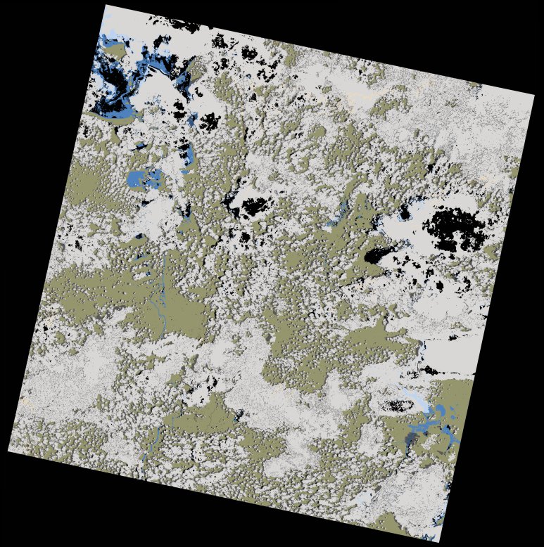
wofs_ls_172067_2025-02-05.stac-item
dataset of product wofs_ls
Indexed by odc_writer
,
created
Region
172067
for
5th February 2025


Fields 🔗
cloud_cover
55.05
collection_category
T1
creation_time
2025-02-06 11:47:59
crs_raw
•
data_coverage
•
dataset_version
1.0.0
eo_gsd
30.0
eo_sun_azimuth
103.783
eo_sun_elevation
58.484
format
GeoTIFF
id
ac03b6c1-f60d-55ab-81a2-7d0000b994e4
instrument
OLI_TIRS
label
•
lat
-11.169 to -9.082
lon
28.024 to 30.066
platform
landsat-9
product_family
wofs
region
•
region_code
172067
rmse
8.123
rmse_x
6.261
rmse_y
5.175
sat_orbit_state
•
sat_relative_orbit
•
time
2025-02-05 08:10:24 to 2025-02-05 08:10:24
Related Datasets 🔗
wofs_ls_172067_2025-02-05.stac-item