Fields 🔗
cloud_cover
29.0
collection_category
T1
creation_time
2022-01-21 02:38:21
crs_raw
•
data_coverage
•
dataset_version
1.1.0
eo_gsd
30.0
eo_sun_azimuth
149.24
eo_sun_elevation
27.512
format
GeoTIFF
id
abc2d678-3ee7-55f6-a728-9b443dd37883
instrument
TM
label
•
lat
35.094 to 37.004
lon
-0.164 to 2.324
platform
landsat-5
product_family
fc
region
•
region_code
197035
rmse
10.537
rmse_x
7.225
rmse_y
7.67
sat_orbit_state
•
sat_relative_orbit
•
time
1999-01-20 10:11:04 to 1999-01-20 10:11:04
Related Datasets 🔗
Location 🔗
s3://deafrica-services/fc_ls/1-1-0/197/035/1999/01/20/fc_ls_197035_1999-01-20.stac-item.json
| bs | fc_ls_197035_1999-01-20_bs.tif |
|---|---|
| checksum:sha1 | fc_ls_197035_1999-01-20.sha1 |
| metadata:processor | fc_ls_197035_1999-01-20.proc-info.yaml |
| npv | fc_ls_197035_1999-01-20_npv.tif |
| pv | fc_ls_197035_1999-01-20_pv.tif |
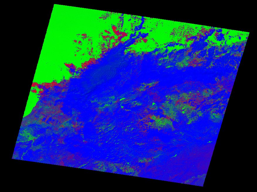
| thumbnail | fc_ls_197035_1999-01-20_thumbnail.jpg |
| ue | fc_ls_197035_1999-01-20_ue.tif |