wofs_ls_203036_2022-11-21.stac-item
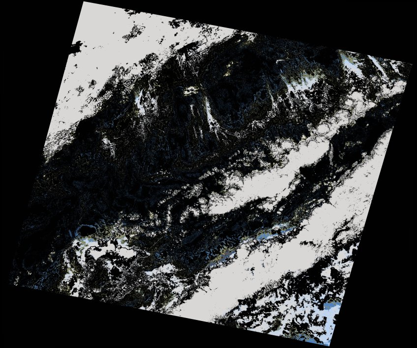
dataset of product wofs_ls
Indexed by odc_writer
,
created
Region
203036
for
21st November 2022
Fields 🔗
cloud_cover
35.81
collection_category
T2
creation_time
2022-11-23 10:40:28
crs_raw
•
data_coverage
•
dataset_version
1.0.0
eo_gsd
30.0
eo_sun_azimuth
160.234
eo_sun_elevation
32.927
format
GeoTIFF
id
ab98a144-86a1-54eb-a07f-b95325bfc67e
instrument
OLI_TIRS
label
•
lat
33.552 to 35.655
lon
-9.843 to -7.373
platform
landsat-9
product_family
wofs
region
•
region_code
203036
rmse
nan
rmse_x
nan
rmse_y
nan
sat_orbit_state
•
sat_relative_orbit
•
time
2022-11-21 11:10:00 to 2022-11-21 11:10:00
Related Datasets 🔗
wofs_ls_203036_2022-11-21.stac-item