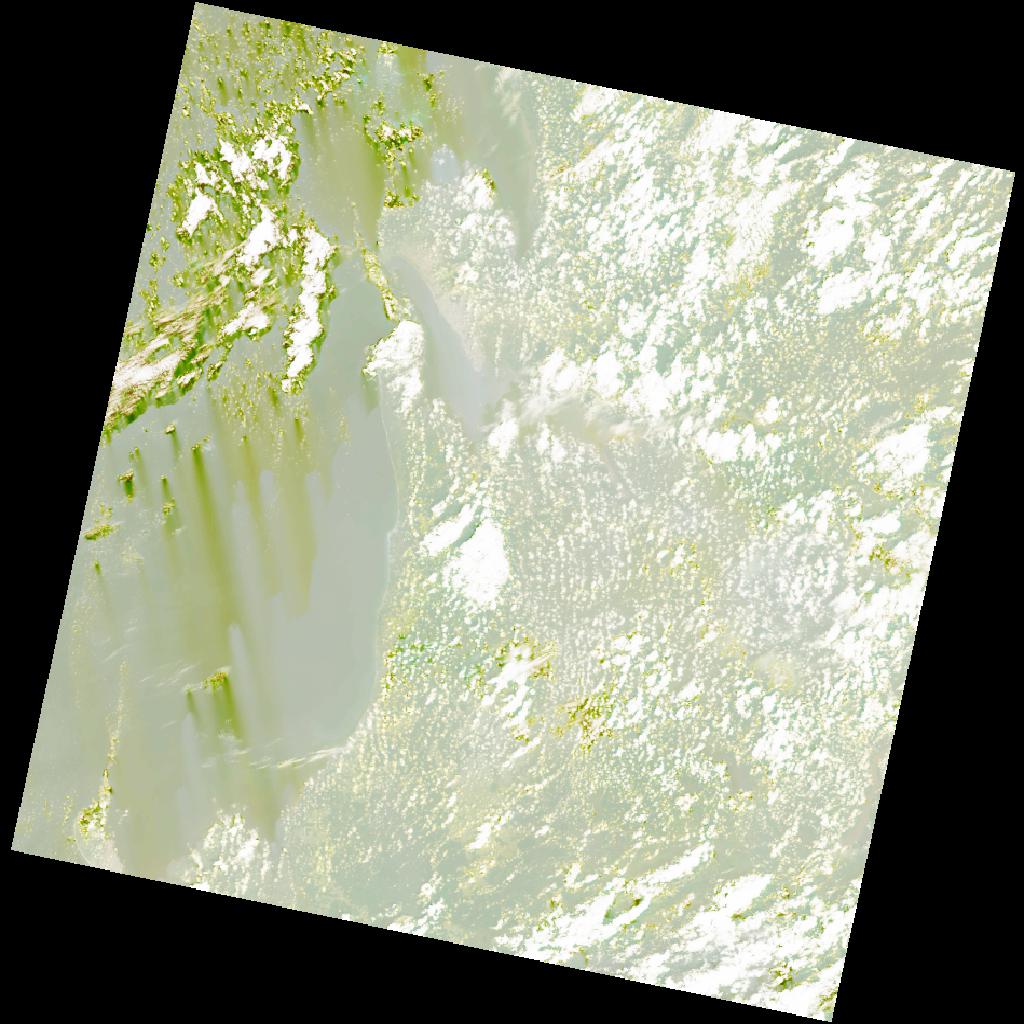
LC09_L2SP_186060_20211213_20230504_02_T1_SR_stac
dataset of product ls9_sr
Indexed by odc_writer
,
created
Region
186060
for
13th December 2021
Fields 🔗
cloud_cover
26.93
collection_category
T1
creation_time
2021-12-13 09:34:20
crs_raw
•
data_coverage
•
dataset_version
•
eo_gsd
•
eo_sun_azimuth
134.945
eo_sun_elevation
56.151
format
GeoTIFF
id
ab5a3ef0-1c4b-5c18-a9f5-b188f715b728
instrument
OLI_TIRS
label
•
lat
-1.048 to 1.039
lon
8.573 to 10.579
platform
LANDSAT_9
product_family
•
region
•
region_code
186060
rmse
8.518
rmse_x
5.602
rmse_y
6.416
sat_orbit_state
•
sat_relative_orbit
•
time
2021-12-13 09:34:20 to 2021-12-13 09:34:20
Related Datasets 🔗
LC09_L2SP_186060_20211213_20230504_02_T1_SR_stac