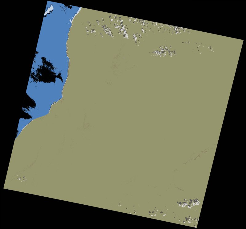
wofs_ls_205043_2022-01-19.stac-item
dataset of product wofs_ls
Indexed by odc_writer
,
created
Region
205043
for
19th January 2022
Fields 🔗
cloud_cover
0.39
collection_category
T1
creation_time
2023-05-01 00:59:24
crs_raw
•
data_coverage
•
dataset_version
1.0.0
eo_gsd
30.0
eo_sun_azimuth
148.541
eo_sun_elevation
38.629
format
GeoTIFF
id
aa3f10ee-c691-554e-966c-56d35a7a9659
instrument
OLI_TIRS
label
•
lat
23.5 to 25.593
lon
-15.428 to -13.211
platform
landsat-9
product_family
wofs
region
•
region_code
205043
rmse
4.522
rmse_x
3.487
rmse_y
2.879
sat_orbit_state
•
sat_relative_orbit
•
time
2022-01-19 11:24:56 to 2022-01-19 11:24:56
Related Datasets 🔗
wofs_ls_205043_2022-01-19.stac-item