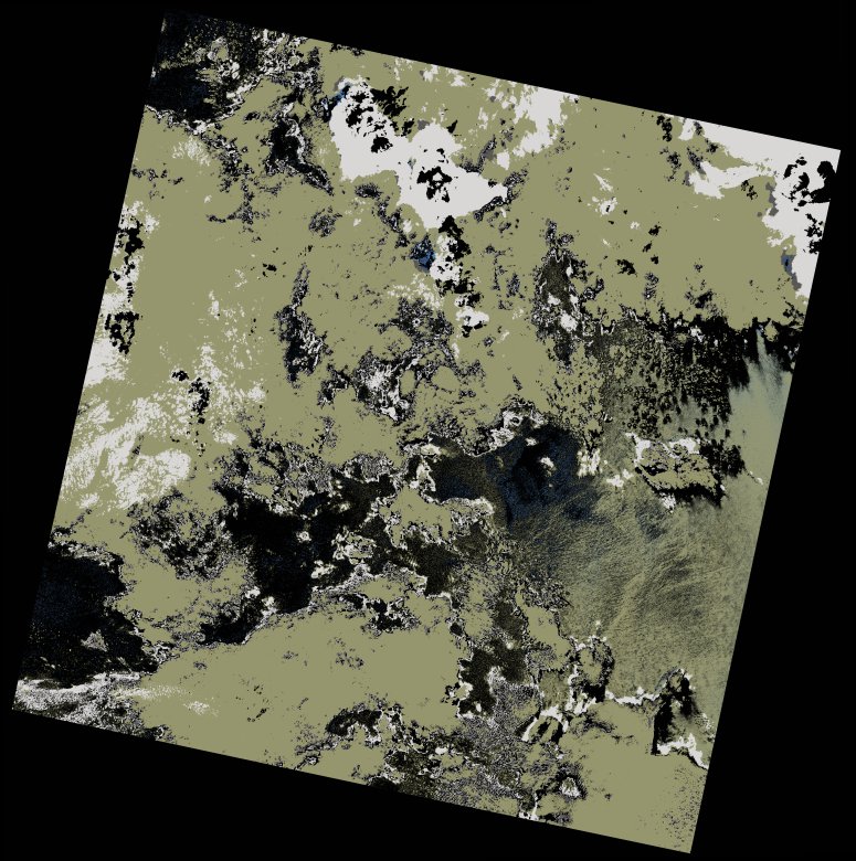
wofs_ls_160067_2022-12-10.stac-item
dataset of product wofs_ls
Indexed by odc_writer
,
created
Region
160067
for
10th December 2022
Fields 🔗
cloud_cover
7.26
collection_category
T2
creation_time
2022-12-12 20:29:23
crs_raw
•
data_coverage
•
dataset_version
1.0.0
eo_gsd
30.0
eo_sun_azimuth
120.166
eo_sun_elevation
61.691
format
GeoTIFF
id
aa20ecd6-9074-55d9-b1f1-04023c16e7fc
instrument
OLI_TIRS
label
•
lat
-11.169 to -9.082
lon
46.561 to 48.607
platform
landsat-9
product_family
wofs
region
•
region_code
160067
rmse
12.525
rmse_x
7.307
rmse_y
10.172
sat_orbit_state
•
sat_relative_orbit
•
time
2022-12-10 06:56:35 to 2022-12-10 06:56:35
Related Datasets 🔗
wofs_ls_160067_2022-12-10.stac-item