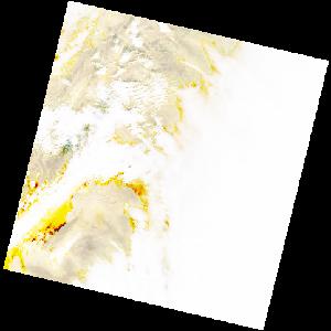
LC09_L2SP_192036_20221210_20221212_02_T1_SR_stac
dataset of product ls9_sr
Indexed by odc_writer
,
created
Region
192036
for
10th December 2022
Fields 🔗
cloud_cover
75.87
collection_category
T1
creation_time
2022-12-10 10:02:00
crs_raw
•
data_coverage
•
dataset_version
•
eo_gsd
•
eo_sun_azimuth
159.505
eo_sun_elevation
29.615
format
GeoTIFF
id
a7eeb218-93b1-5294-be4d-f727c5eb6891
instrument
OLI_TIRS
label
•
lat
33.552 to 35.655
lon
7.154 to 9.624
platform
LANDSAT_9
product_family
•
region
•
region_code
192036
rmse
7.75
rmse_x
5.867
rmse_y
5.064
sat_orbit_state
•
sat_relative_orbit
•
time
2022-12-10 10:02:00 to 2022-12-10 10:02:00
Related Datasets 🔗
LC09_L2SP_192036_20221210_20221212_02_T1_SR_stac