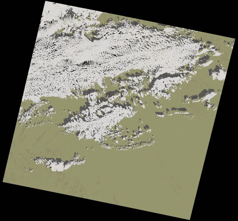
wofs_ls_197043_2022-01-27.stac-item
dataset of product wofs_ls
Indexed by odc_writer
,
created
Region
197043
for
27th January 2022
Fields 🔗
cloud_cover
26.28
collection_category
T1
creation_time
2023-04-30 09:00:34
crs_raw
•
data_coverage
•
dataset_version
1.0.0
eo_gsd
30.0
eo_sun_azimuth
146.758
eo_sun_elevation
39.992
format
GeoTIFF
id
a76be217-9245-50ed-a2ba-ca60052f269f
instrument
OLI_TIRS
label
•
lat
23.5 to 25.593
lon
-3.077 to -0.859
platform
landsat-9
product_family
wofs
region
•
region_code
197043
rmse
8.993
rmse_x
6.398
rmse_y
6.319
sat_orbit_state
•
sat_relative_orbit
•
time
2022-01-27 10:35:30 to 2022-01-27 10:35:30
Related Datasets 🔗
wofs_ls_197043_2022-01-27.stac-item