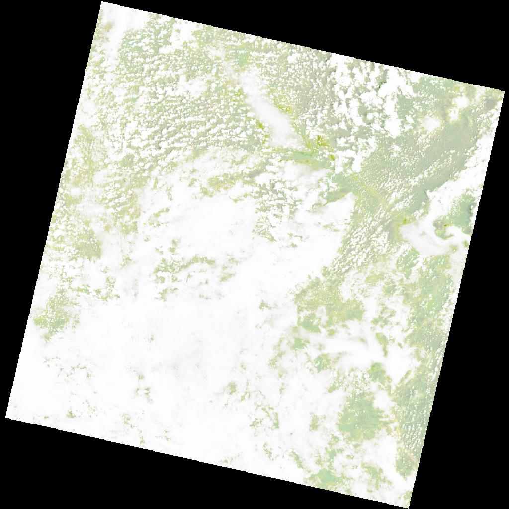
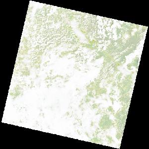
LC09_L2SP_171070_20220105_20220122_02_T1_SR_stac
dataset of product ls9_sr
Indexed by odc_writer
,
created
Region
171070
for
5th January 2022
Fields 🔗
cloud_cover
83.69
collection_category
T1
creation_time
2022-01-05 08:05:35
crs_raw
•
data_coverage
•
dataset_version
•
eo_gsd
•
eo_sun_azimuth
110.393
eo_sun_elevation
60.215
format
GeoTIFF
id
a41a7142-0c67-56bb-8295-a7133c7b8c7f
instrument
OLI_TIRS
label
•
lat
-15.504 to -13.416
lon
28.601 to 30.683
platform
LANDSAT_9
product_family
•
region
•
region_code
171070
rmse
8.219
rmse_x
5.638
rmse_y
5.981
sat_orbit_state
•
sat_relative_orbit
•
time
2022-01-05 08:05:35 to 2022-01-05 08:05:35
Related Datasets 🔗
LC09_L2SP_171070_20220105_20220122_02_T1_SR_stac