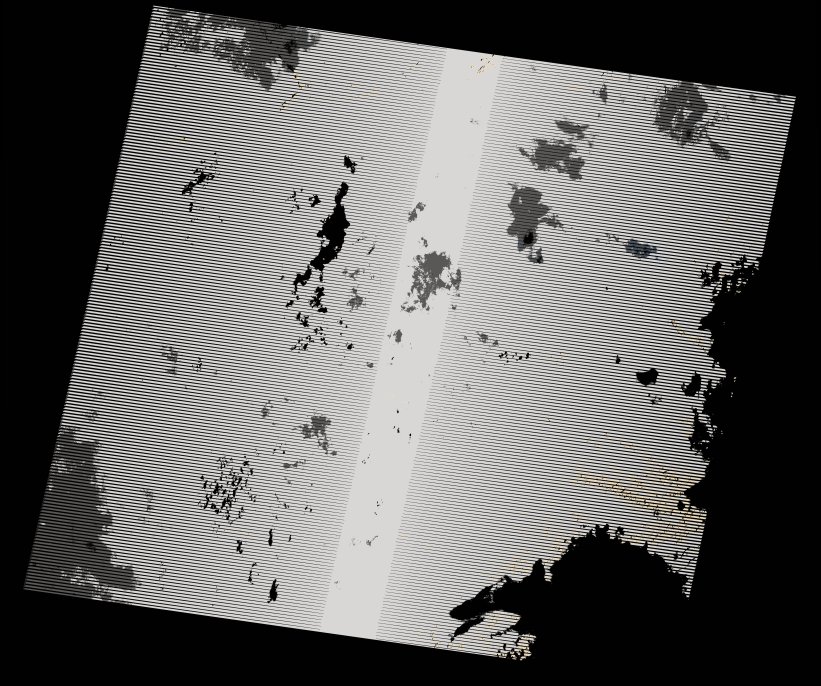
wofs_ls_172071_2024-01-10.stac-item
dataset of product wofs_ls
Indexed by odc_writer
,
created
Region
172071
for
10th January 2024
Fields 🔗
cloud_cover
36.79
collection_category
T2
creation_time
2024-02-23 05:23:35
crs_raw
•
data_coverage
•
dataset_version
1.0.0
eo_gsd
30.0
eo_sun_azimuth
106.638
eo_sun_elevation
60.079
format
GeoTIFF
id
a4089a03-3f7b-581d-b326-19e0943dbd84
instrument
OLI_TIRS
label
•
lat
-16.947 to -14.858
lon
26.723 to 28.814
platform
landsat-8
product_family
wofs
region
•
region_code
172071
rmse
nan
rmse_x
nan
rmse_y
nan
sat_orbit_state
•
sat_relative_orbit
•
time
2024-01-10 08:12:00 to 2024-01-10 08:12:00
Related Datasets 🔗
wofs_ls_172071_2024-01-10.stac-item