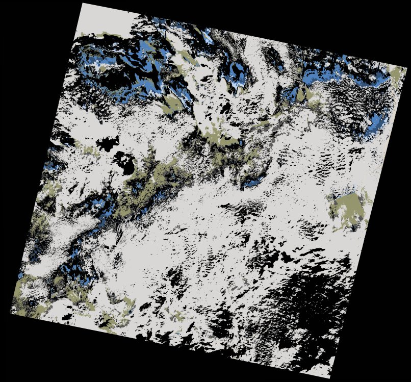
wofs_ls_206043_2022-01-10.stac-item
dataset of product wofs_ls
Indexed by odc_writer
,
created
Region
206043
for
10th January 2022
Fields 🔗
cloud_cover
48.87
collection_category
T2
creation_time
2022-02-14 23:17:08
crs_raw
•
data_coverage
•
dataset_version
1.0.0
eo_gsd
30.0
eo_sun_azimuth
150.394
eo_sun_elevation
37.578
format
GeoTIFF
id
a3adc319-cf3e-58e3-9018-f644a4863b4f
instrument
OLI_TIRS
label
•
lat
23.5 to 25.594
lon
-16.967 to -14.75
platform
landsat-9
product_family
wofs
region
•
region_code
206043
rmse
nan
rmse_x
nan
rmse_y
nan
sat_orbit_state
•
sat_relative_orbit
•
time
2022-01-10 11:31:06 to 2022-01-10 11:31:06
Related Datasets 🔗
wofs_ls_206043_2022-01-10.stac-item