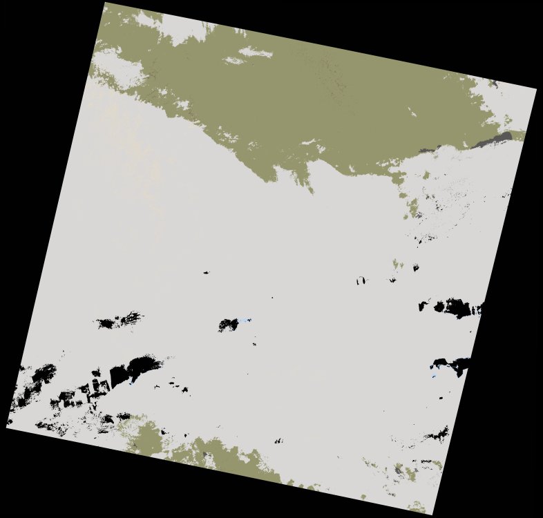
wofs_ls_197044_2021-11-21.stac-item
dataset of product wofs_ls
Indexed by odc_writer
,
created
Region
197044
for
21st November 2021
Fields 🔗
cloud_cover
48.94
collection_category
T1
creation_time
2023-05-06 00:30:46
crs_raw
•
data_coverage
•
dataset_version
1.0.0
eo_gsd
30.0
eo_sun_azimuth
154.255
eo_sun_elevation
42.734
format
GeoTIFF
id
a35ea0d4-1e49-5a11-ba7c-d7c23127571e
instrument
OLI_TIRS
label
•
lat
22.06 to 24.154
lon
-2.763 to -0.597
platform
landsat-9
product_family
wofs
region
•
region_code
197044
rmse
7.543
rmse_x
5.314
rmse_y
5.353
sat_orbit_state
•
sat_relative_orbit
•
time
2021-11-21 10:33:14 to 2021-11-21 10:33:14
Related Datasets 🔗
wofs_ls_197044_2021-11-21.stac-item