Fields 🔗
cloud_cover
65.0
collection_category
T1
creation_time
2022-01-19 20:36:58
crs_raw
•
data_coverage
•
dataset_version
1.1.0
eo_gsd
30.0
eo_sun_azimuth
155.185
eo_sun_elevation
40.371
format
GeoTIFF
id
a34a2899-8fb1-5b26-8250-2a59e0520684
instrument
ETM
label
•
lat
35.091 to 36.996
lon
1.356 to 3.845
platform
landsat-7
product_family
fc
region
•
region_code
196035
rmse
5.379
rmse_x
3.337
rmse_y
4.219
sat_orbit_state
•
sat_relative_orbit
•
time
1999-10-20 10:18:44 to 1999-10-20 10:18:44
Related Datasets 🔗
Location 🔗
s3://deafrica-services/fc_ls/1-1-0/196/035/1999/10/20/fc_ls_196035_1999-10-20.stac-item.json
| bs | fc_ls_196035_1999-10-20_bs.tif |
|---|---|
| checksum:sha1 | fc_ls_196035_1999-10-20.sha1 |
| metadata:processor | fc_ls_196035_1999-10-20.proc-info.yaml |
| npv | fc_ls_196035_1999-10-20_npv.tif |
| pv | fc_ls_196035_1999-10-20_pv.tif |
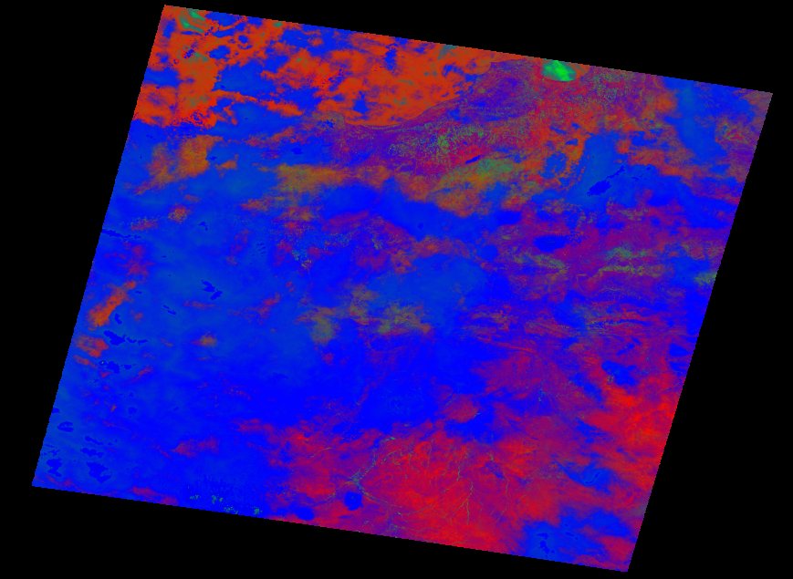
| thumbnail | fc_ls_196035_1999-10-20_thumbnail.jpg |
| ue | fc_ls_196035_1999-10-20_ue.tif |