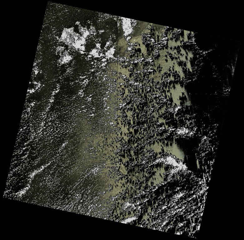
wofs_ls_155071_2021-11-10.stac-item
dataset of product wofs_ls
Indexed by odc_writer
,
created
Region
155071
for
10th November 2021
Fields 🔗
cloud_cover
14.66
collection_category
T2
creation_time
2021-11-17 22:27:40
crs_raw
•
data_coverage
•
dataset_version
1.0.0
eo_gsd
30.0
eo_sun_azimuth
96.703
eo_sun_elevation
65.897
format
GeoTIFF
id
a2364fbe-5994-5ecd-9e71-610b59b71911
instrument
OLI_TIRS
label
•
lat
-16.946 to -14.857
lon
52.992 to 55.086
platform
landsat-8
product_family
wofs
region
•
region_code
155071
rmse
31.025
rmse_x
16.862
rmse_y
26.042
sat_orbit_state
•
sat_relative_orbit
•
time
2021-11-10 06:27:12 to 2021-11-10 06:27:12
Related Datasets 🔗
wofs_ls_155071_2021-11-10.stac-item