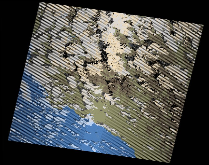
wofs_ls_171043_2021-11-02.stac-item
dataset of product wofs_ls
Indexed by odc_writer
,
created
Region
171043
for
2nd November 2021
Fields 🔗
cloud_cover
34.0
collection_category
T1
creation_time
2021-11-28 12:40:32
crs_raw
•
data_coverage
•
dataset_version
1.0.0
eo_gsd
30.0
eo_sun_azimuth
134.62
eo_sun_elevation
37.317
format
GeoTIFF
id
a22522dd-297b-5582-897e-efc8db943f8c
instrument
ETM
label
•
lat
23.634 to 25.507
lon
36.992 to 39.278
platform
landsat-7
product_family
wofs
region
•
region_code
171043
rmse
4.424
rmse_x
3.048
rmse_y
3.207
sat_orbit_state
•
sat_relative_orbit
•
time
2021-11-02 06:47:41 to 2021-11-02 06:47:41
Related Datasets 🔗
wofs_ls_171043_2021-11-02.stac-item