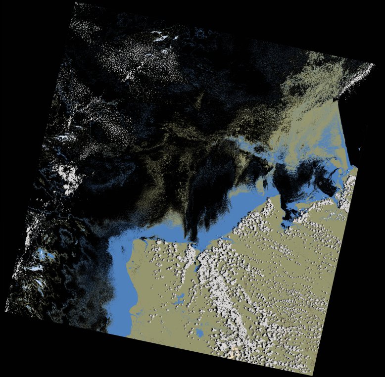
wofs_ls_161071_2022-12-01.stac-item
dataset of product wofs_ls
Indexed by odc_writer
,
created
Region
161071
for
1st December 2022
Fields 🔗
cloud_cover
5.67
collection_category
T1
creation_time
2023-03-19 21:40:10
crs_raw
•
data_coverage
•
dataset_version
1.0.0
eo_gsd
30.0
eo_sun_azimuth
107.415
eo_sun_elevation
64.388
format
GeoTIFF
id
a1ce5c8b-4575-5d23-8e9d-d3cdb47e272e
instrument
OLI_TIRS
label
•
lat
-16.948 to -14.859
lon
43.725 to 45.826
platform
landsat-9
product_family
wofs
region
•
region_code
161071
rmse
6.965
rmse_x
4.528
rmse_y
5.293
sat_orbit_state
•
sat_relative_orbit
•
time
2022-12-01 07:04:19 to 2022-12-01 07:04:19
Related Datasets 🔗
wofs_ls_161071_2022-12-01.stac-item