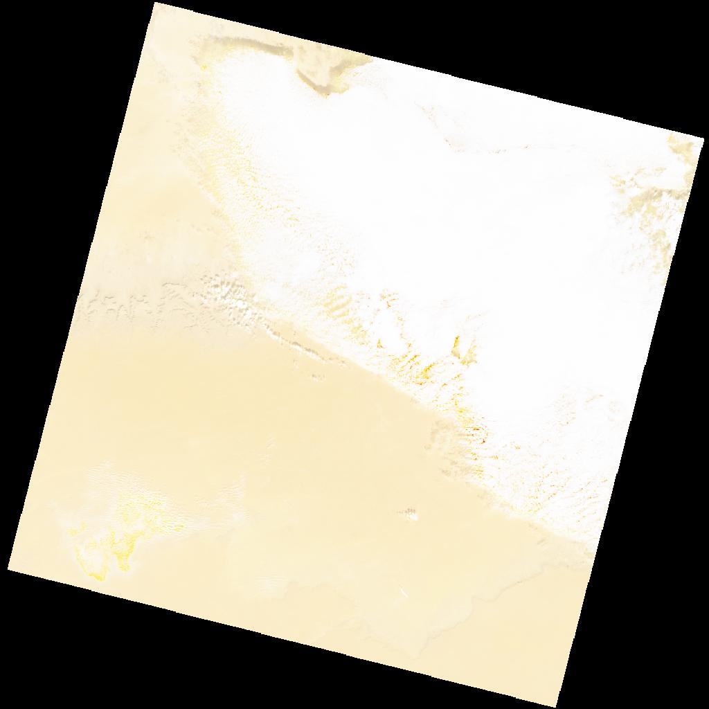
LC09_L2SP_189038_20211218_20230504_02_T1_SR_stac
dataset of product ls9_sr
Indexed by odc_writer
,
created
Region
189038
for
18th December 2021
Fields 🔗
cloud_cover
46.05
collection_category
T1
creation_time
2021-12-18 09:44:04
crs_raw
•
data_coverage
•
dataset_version
•
eo_gsd
•
eo_sun_azimuth
157.452
eo_sun_elevation
31.345
format
GeoTIFF
id
a0921792-7971-5ccd-9130-27e1996f4bc9
instrument
OLI_TIRS
label
•
lat
30.685 to 32.785
lon
11.05 to 13.433
platform
LANDSAT_9
product_family
•
region
•
region_code
189038
rmse
4.804
rmse_x
3.561
rmse_y
3.224
sat_orbit_state
•
sat_relative_orbit
•
time
2021-12-18 09:44:04 to 2021-12-18 09:44:04
Related Datasets 🔗
LC09_L2SP_189038_20211218_20230504_02_T1_SR_stac