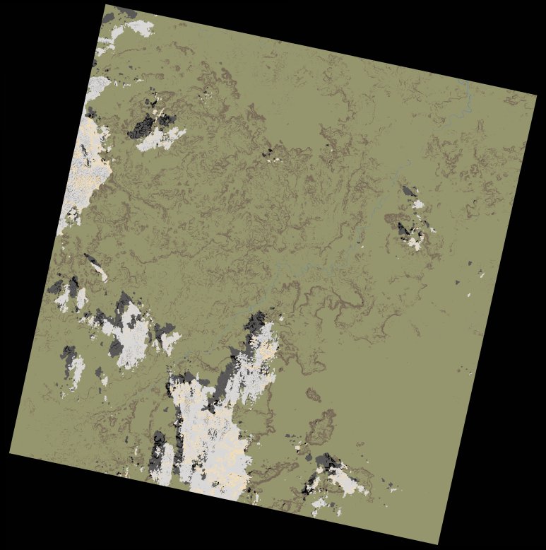
wofs_ls_201052_2021-01-12.stac-item
dataset of product wofs_ls
Indexed by odc_writer
,
created
Region
201052
for
12th January 2021
Fields 🔗
cloud_cover
5.91
collection_category
T1
creation_time
2021-09-01 00:14:03
crs_raw
•
data_coverage
•
dataset_version
1.0.0
eo_gsd
30.0
eo_sun_azimuth
141.002
eo_sun_elevation
47.414
format
GeoTIFF
id
9f3c1d5b-2ba7-5f23-aef5-5df323042935
instrument
OLI_TIRS
label
•
lat
10.52 to 12.609
lon
-12.117 to -10.075
platform
landsat-8
product_family
wofs
region
•
region_code
201052
rmse
6.558
rmse_x
4.609
rmse_y
4.665
sat_orbit_state
•
sat_relative_orbit
•
time
2021-01-12 11:03:44 to 2021-01-12 11:03:44
Related Datasets 🔗
wofs_ls_201052_2021-01-12.stac-item