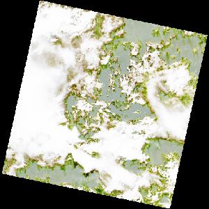
LC09_L2SP_187060_20211220_20220121_02_T2_SR_stac
dataset of product ls9_sr
Indexed by odc_writer
,
created
Region
187060
for
20th December 2021
Fields 🔗
cloud_cover
78.14
collection_category
T2
creation_time
2021-12-20 09:40:29
crs_raw
•
data_coverage
•
dataset_version
•
eo_gsd
•
eo_sun_azimuth
134.425
eo_sun_elevation
55.382
format
GeoTIFF
id
9ef78c44-9ad0-5cb9-982c-b6c880464a60
instrument
OLI_TIRS
label
•
lat
-1.048 to 1.04
lon
7.035 to 9.042
platform
LANDSAT_9
product_family
•
region
•
region_code
187060
rmse
nan
rmse_x
nan
rmse_y
nan
sat_orbit_state
•
sat_relative_orbit
•
time
2021-12-20 09:40:29 to 2021-12-20 09:40:29
Related Datasets 🔗
LC09_L2SP_187060_20211220_20220121_02_T2_SR_stac