wofs_ls_170071_2024-02-05.stac-item
dataset of product wofs_ls
Indexed by odc_writer
,
created
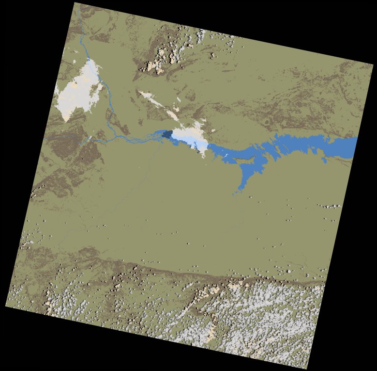
Region
170071
for
5th February 2024
Fields 🔗
cloud_cover
4.69
collection_category
T1
creation_time
2024-02-09 05:59:29
crs_raw
•
data_coverage
•
dataset_version
1.0.0
eo_gsd
30.0
eo_sun_azimuth
94.862
eo_sun_elevation
58.613
format
GeoTIFF
id
9b6a614b-8bd5-5ef4-8226-8a0ff2d3d3d5
instrument
OLI_TIRS
label
•
lat
-16.947 to -14.859
lon
29.783 to 31.88
platform
landsat-9
product_family
wofs
region
•
region_code
170071
rmse
7.525
rmse_x
4.533
rmse_y
6.007
sat_orbit_state
•
sat_relative_orbit
•
time
2024-02-05 07:59:50 to 2024-02-05 07:59:50
Related Datasets 🔗
wofs_ls_170071_2024-02-05.stac-item