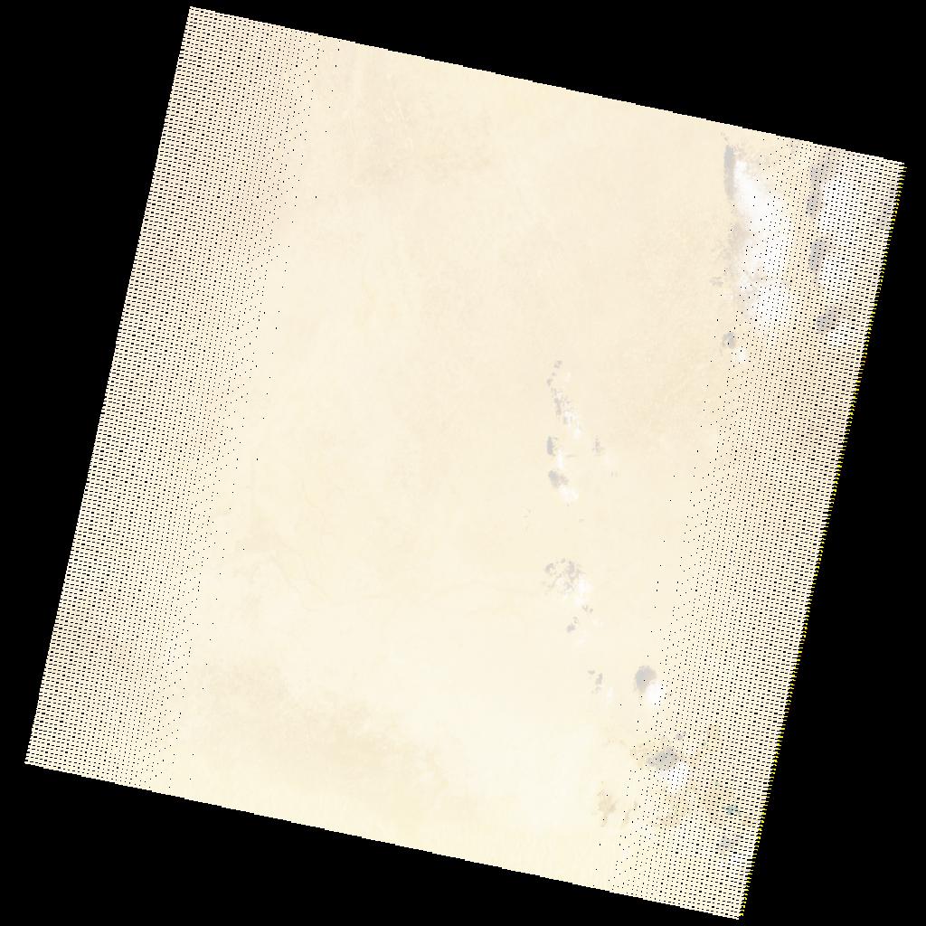
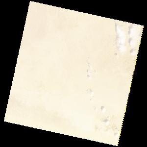
LE07_L2SP_181039_20211226_20220122_02_T1_SR_stac
dataset of product ls7_sr
Indexed by odc_writer
,
created
Region
181039
for
26th December 2021
Fields 🔗
cloud_cover
2.0
collection_category
T1
creation_time
2021-12-26 07:42:42
crs_raw
•
data_coverage
•
dataset_version
•
eo_gsd
•
eo_sun_azimuth
139.468
eo_sun_elevation
23.816
format
GeoTIFF
id
9b024237-0779-585c-bca5-46473e8b062e
instrument
ETM
label
•
lat
29.378 to 31.271
lon
22.905 to 25.322
platform
LANDSAT_7
product_family
•
region
•
region_code
181039
rmse
4.347
rmse_x
2.82
rmse_y
3.308
sat_orbit_state
•
sat_relative_orbit
•
time
2021-12-26 07:42:42 to 2021-12-26 07:42:42
Related Datasets 🔗
LE07_L2SP_181039_20211226_20220122_02_T1_SR_stac